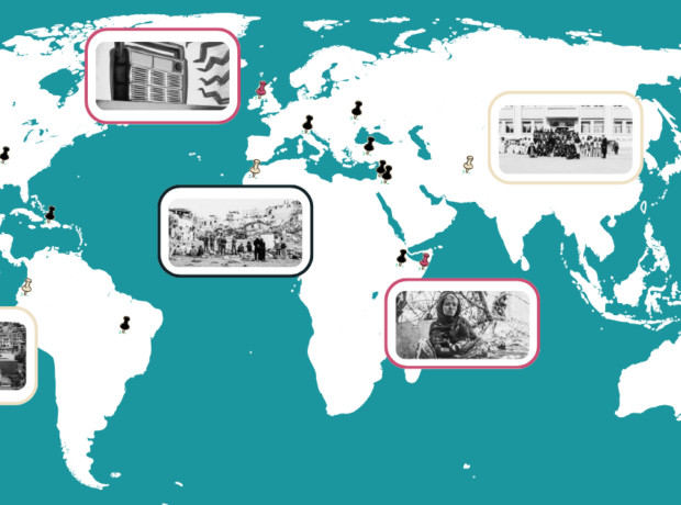
To mark 10 years of Lacuna Magazine, we have gathered a decade of human rights journalism, creative writing and storytelling from around the globe into an interactive world map.
Lacuna Magazine was created a decade ago with the ambition of bringing together academics, students, journalists and campaigners to tell stories of injustice that might otherwise remain hidden. This map of all Lacuna’s stories since its inception is a testament to the breadth of investigation which our intrepid writers have produced.
From speaking to activists fighting for West Papuan independence to witnessing the effects of climate change among Alaskan salmon. From investigating the ethics of Rainforest Alliance tea production in Tanzania to demanding justice for the families of Mexico’s disappeared. From exploring what makes an Eritrean girl seek out a new home far from her family to uncovering the struggles of similar girls in the refugee camps of Greece.
What links these stories, and many more like them, is the curiosity and courage of our writers to understand why injustice is happening, to amplify the voices of those who are suffering, and to provoke our readers into thinking about the action we could take to change their lives.
We hope this map is a gateway that allows each reader to explore stories from parts of the world that are particularly important to them. But we would also ask each reader to take a moment to look at other parts of the world they might not normally consider and see what lies beneath. In that way, we hope that this map furthers our mission to bring hidden stories to the attention of new readers, to empower them with knowledge about newly revealed injustices and to join those who are fighting for those injustices to be put right.
CLICK HERE to explore the interactive world map in detail.
CLICK HERE to explore the interactive world map in detail.
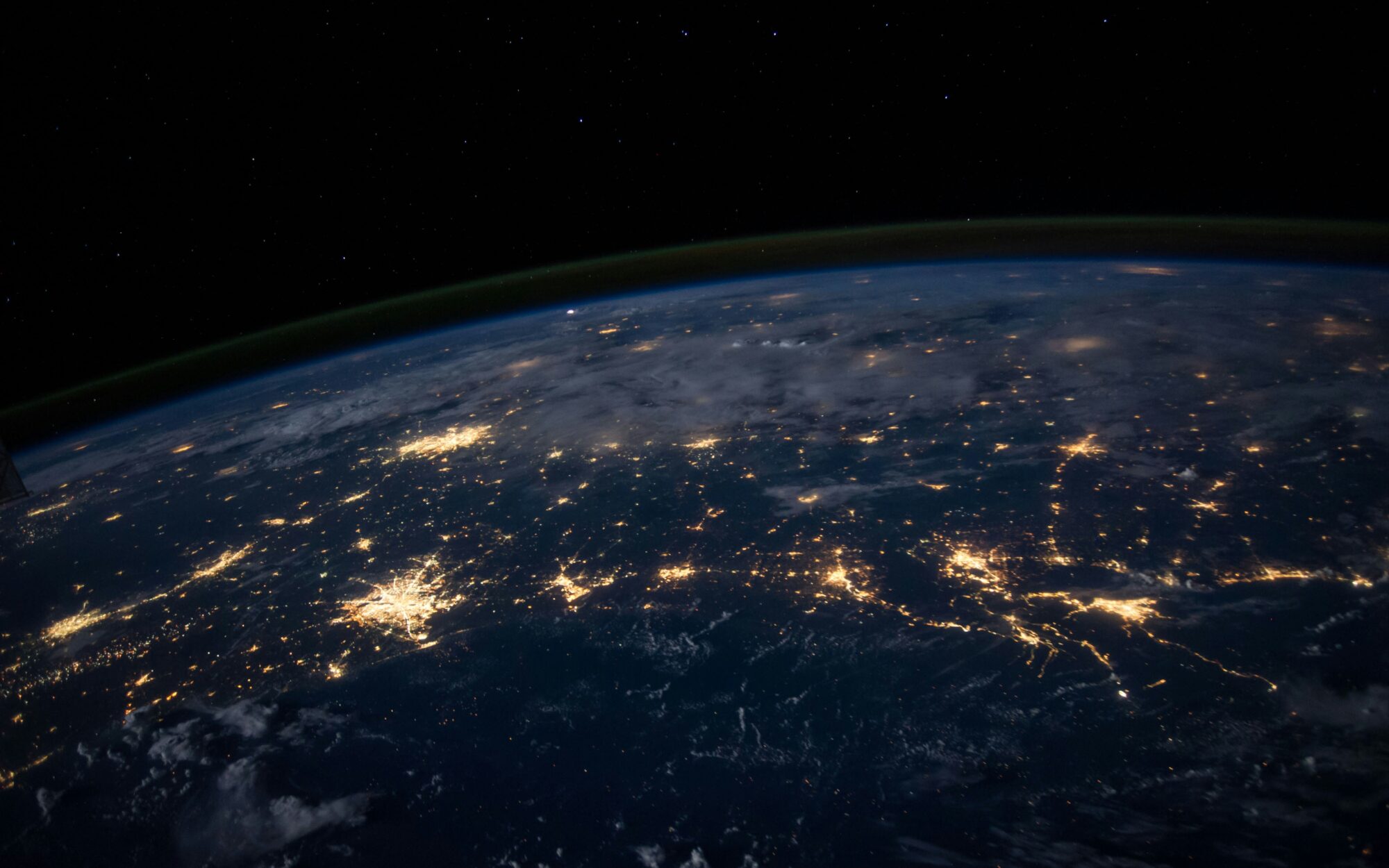
Main picture shows a satellite image of the Gulf of Mexico by NASA.
Find more:


